Many modern buildings and bridges with unique architecture, the winding coastal road… are the images of the young Da Nang city seen from above.
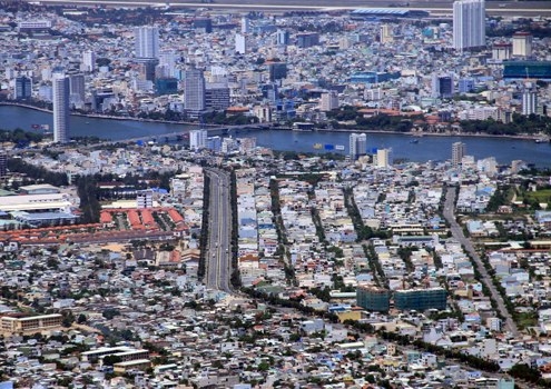
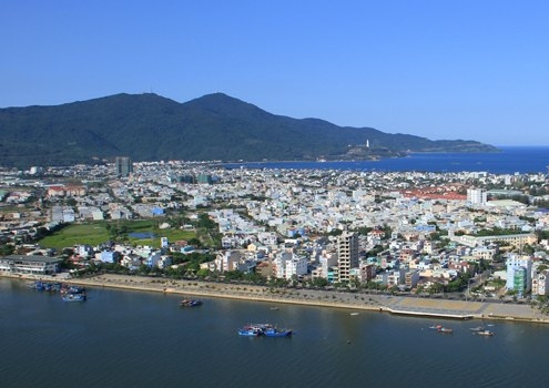
As the largest economic, cultural, educational, scientific and technological center of the central region and the Central Highlands, Da Nang is developing in all aspects. In the photo: the eastern urban area which is adjacent to the East Sea.
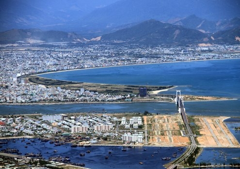
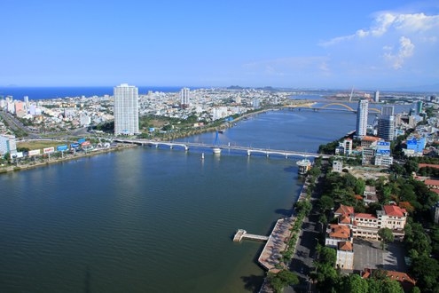
Thuan Phuoc – the longest cable-stayed bridge in Vietnam.
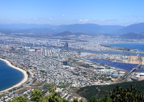
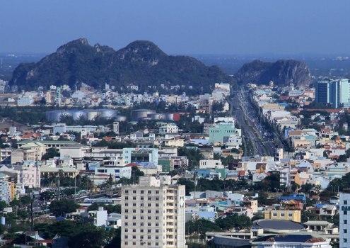
From Son Tra Mountain, at an altitude of nearly 600m to the south, Da Nang is bustling with new houses being built in all districts.
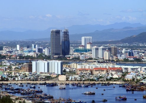
The "skyscrapers" are springing up in this coastal city. The Da Nang administration centre building is the highest, about 150m.
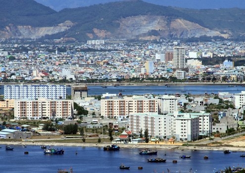
Many apartment buildings for low-income people are built right next to the Tho Quang docks in Son Tra District.
Ngo Quyen Avenue with six lanes, running from Tien Sa Port to the city center.
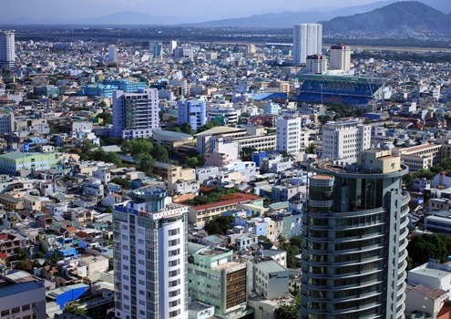
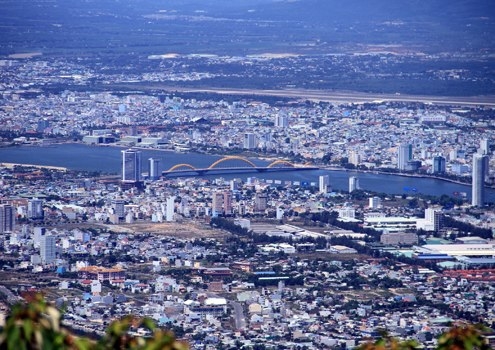
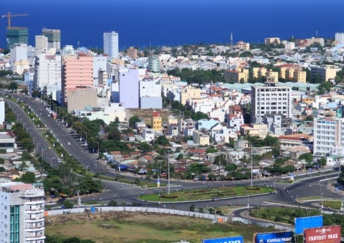
The two center districts of Hai Chau and Thanh Khe have many buildings, which are hotels, high-class apartment buildings and offices.
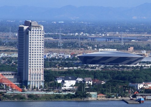
The Tien Son Sports Palace with the unique shape of a flying saucer and the new bridge of Cam Le Bridge.
Ngu Hanh Son tourist site with Le Van Hien Avenue connect Da Nang to Hoi An ancient town (Quang Nam).
Son Tra district is surrounded by Son Tra mountain.
The Han River swing bridge roundabout. The city has big potential of sea travel, with many clean and beautiful beaches.
Bach Dang Street is considered the most beautiful road in Da Nang, with a lot of big trees. The headquarters of many state agencies are located along this road.
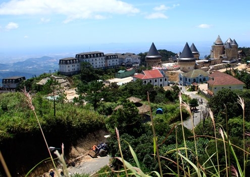
At the height of 1,500m, the "French Village" on top of Ba Na is being rebuilt to serve tourists.
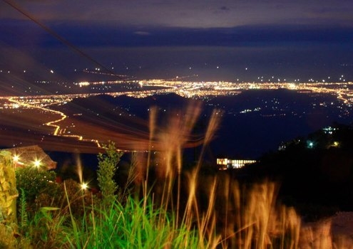
At night, the whole city of Da Nang is shimmering in electric lights.