Ban Than Reef (Quang Nam Province) consists of coal-black rocks formed more than 400 million years ago. It has much potential for being attractive to visitors.
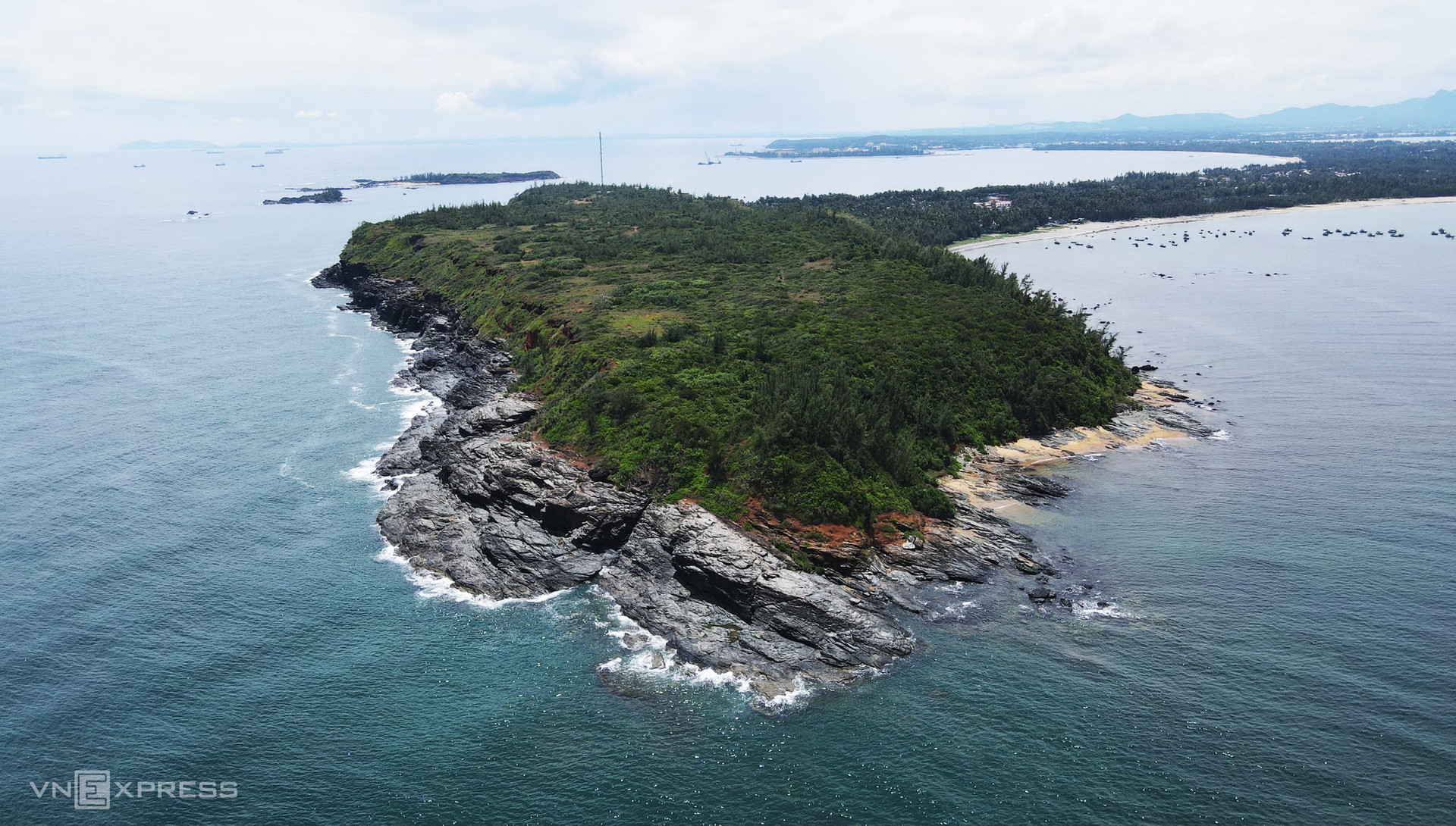
Photo: Vnexpress
Ban Than Reef is located in the northeast of Tam Hai Island commune (Nui Thanh District). It is in a table-top shape with coal-black cliffs, which are believed to be the remaining vestiges of an ancient continental shelf.
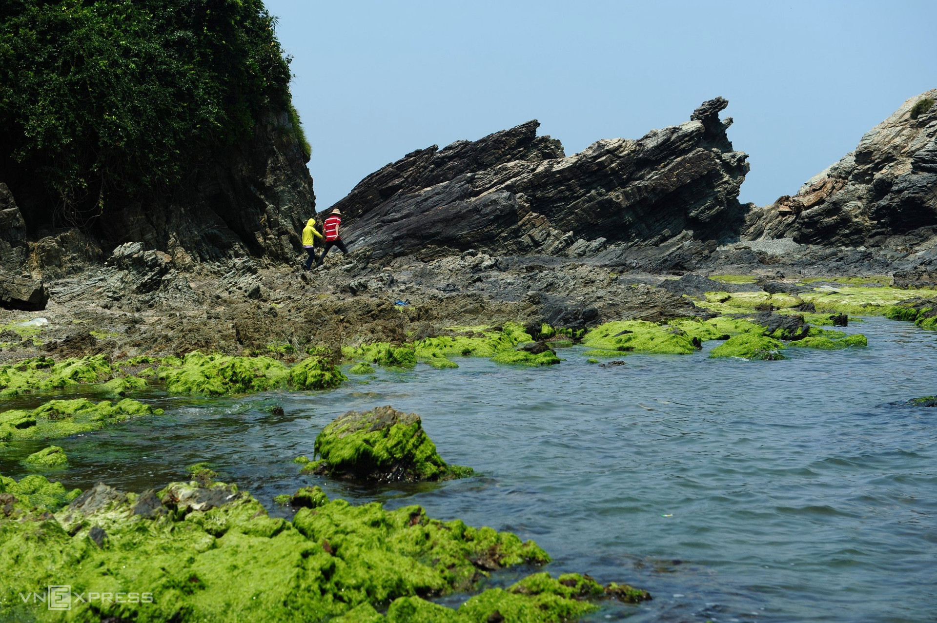
Photo: Vnexpress
Ban Than Reef is 2km long and 40m high, curving around the mountain by the sea with clear blue water. In 2020, Tam Hai was named among the 5 most beautiful beaches in the south of Vietnam by National Geographic, USA.
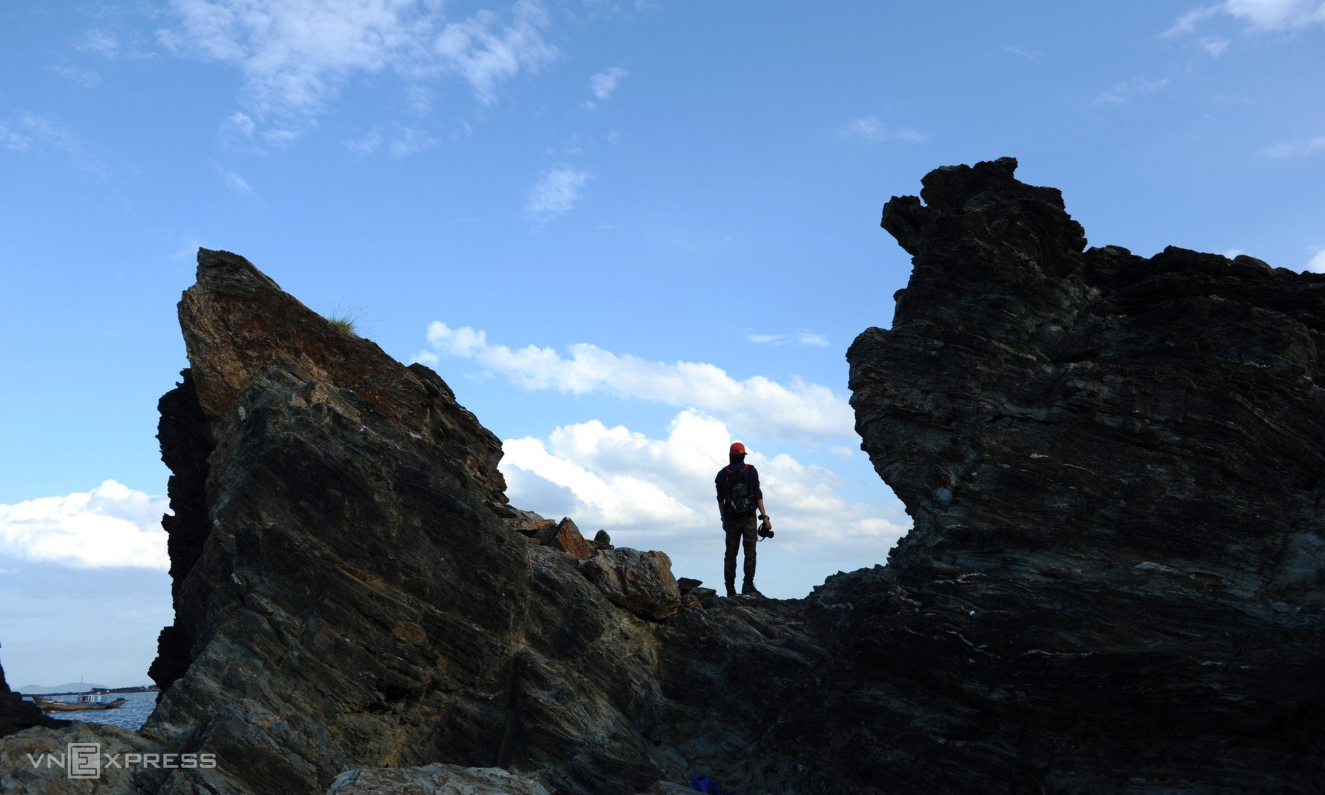
Photo: vnexpress
Despite being just as black as the rocks on Ly Son Island (Quang Ngai Province), geologists claim that the rocks at Ban Than are not volcanic rocks.
Geological tectonics caused the initial rocks, which date back more than 400 million years, to be thrust upward from the seafloor.
The geological system of Ban Than is distinct and varied, reflecting the changes in the Earth's crust caused by the East Sea's development and expansion.
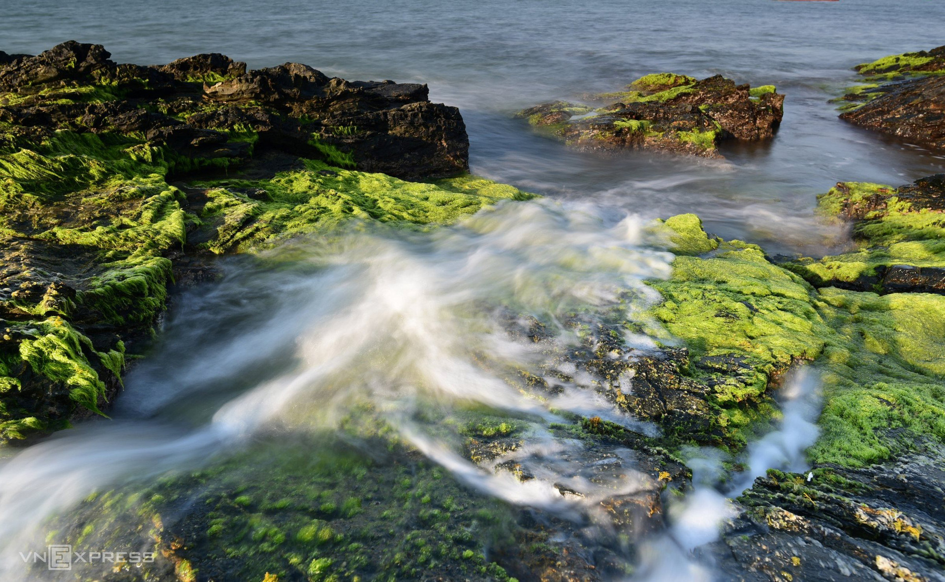
Photo: Vnexpress
The rocks at Ban Than have different unique shapes, making the reef more attractive and impressive.
After the Vietnamese Lunar New Year, the rocks at Ban Than become green because they are covered with moss. The phenomenon lasts until the third month of the lunar calendar.
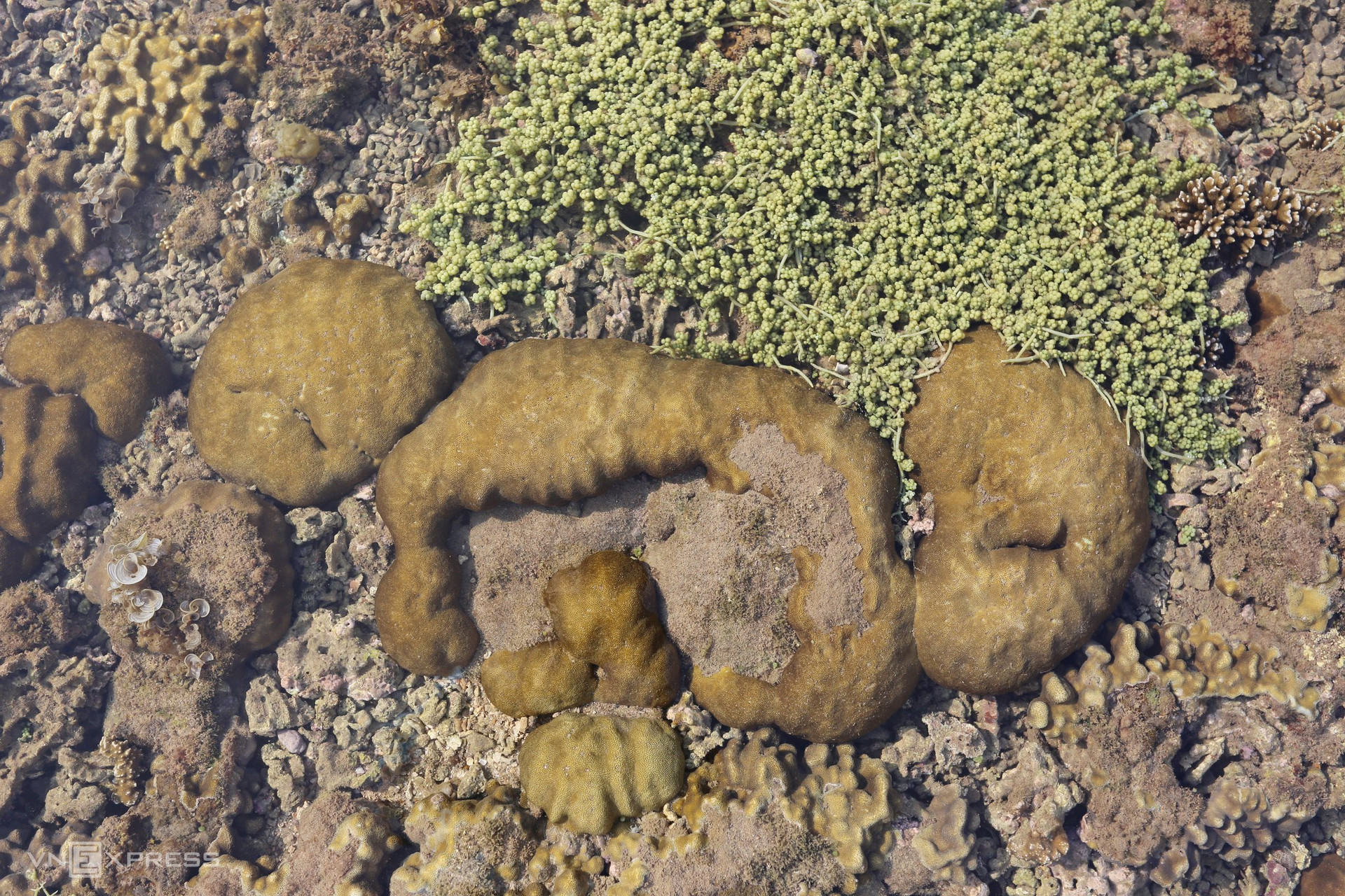
Photo: Vnexpress
At the Ban Than area, there is a coral reef covering over 90 hectares with about 100 coral species. It is also home to about 168 aquatic species, including snapper, grouper, lobsters, seaweed, and snails.
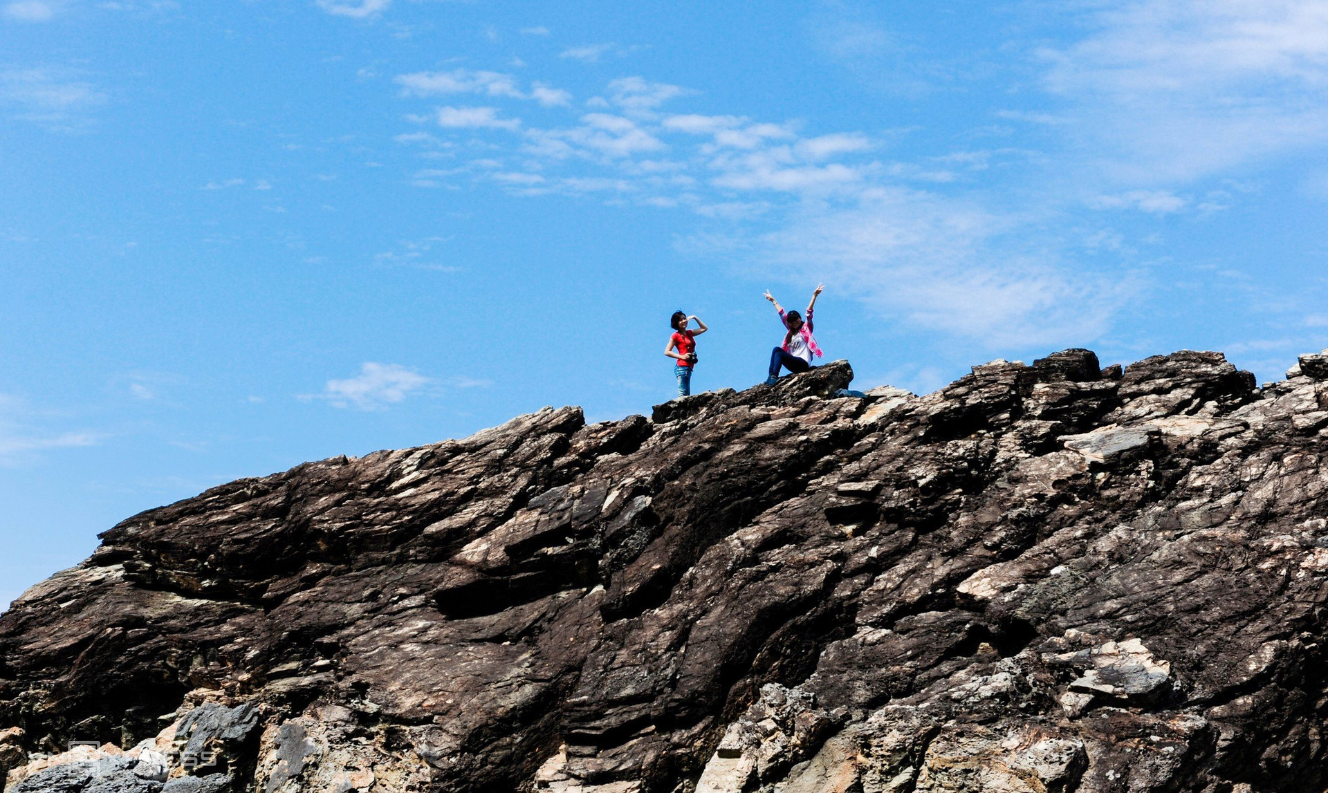
Photo: Vnexpress
Ban Than sometimes receives travellers. They often climb the high cliffs.

Photo: Vnexpress
Several of them are photographers who want to catch the dawn and sunset from the reef.
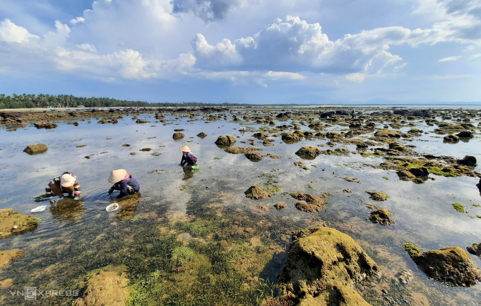
Photo: Vnexpress
When the tide is low, people in Tam Hai go to Ban Than Reef to harvest seaweed.
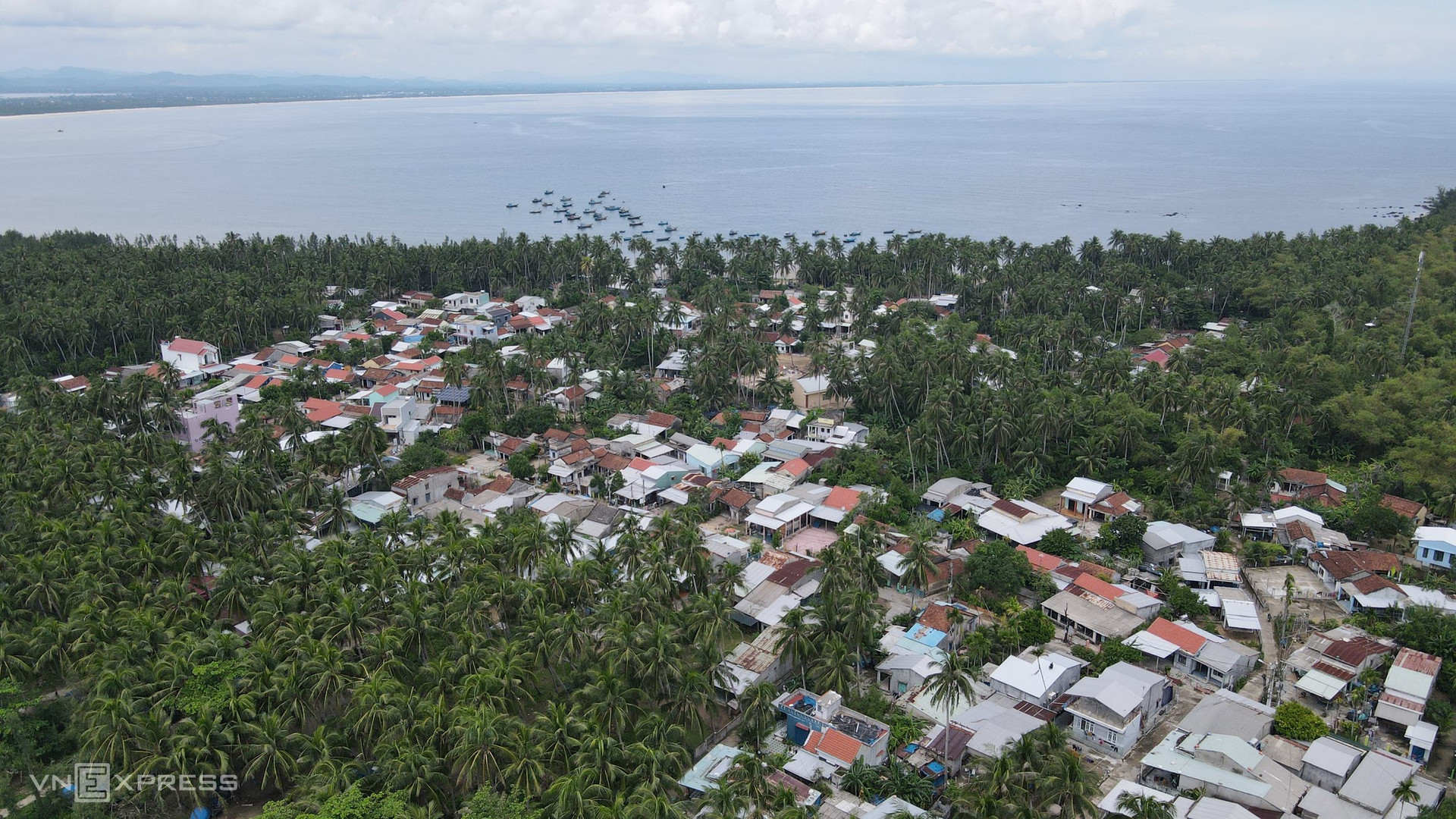
Photo: Vnexpress
Thuan An is a peaceful village under the coconut groves, next to Ban Than Reef, with smooth sandy beaches and gentle water waves.
Currently, tourism in Tam Hai is underdeveloped. Nui Thanh District is planning to build and upgrade local transport infrastructure leading to Ban Than, Hon Mang, and Hon Dua.
In addition, the district, in coordination with the Quang Nam Department of Culture, Sports, and Tourism, conducts some surveys and includes Tam Hai in the draft project on provincial community-based tourism development.
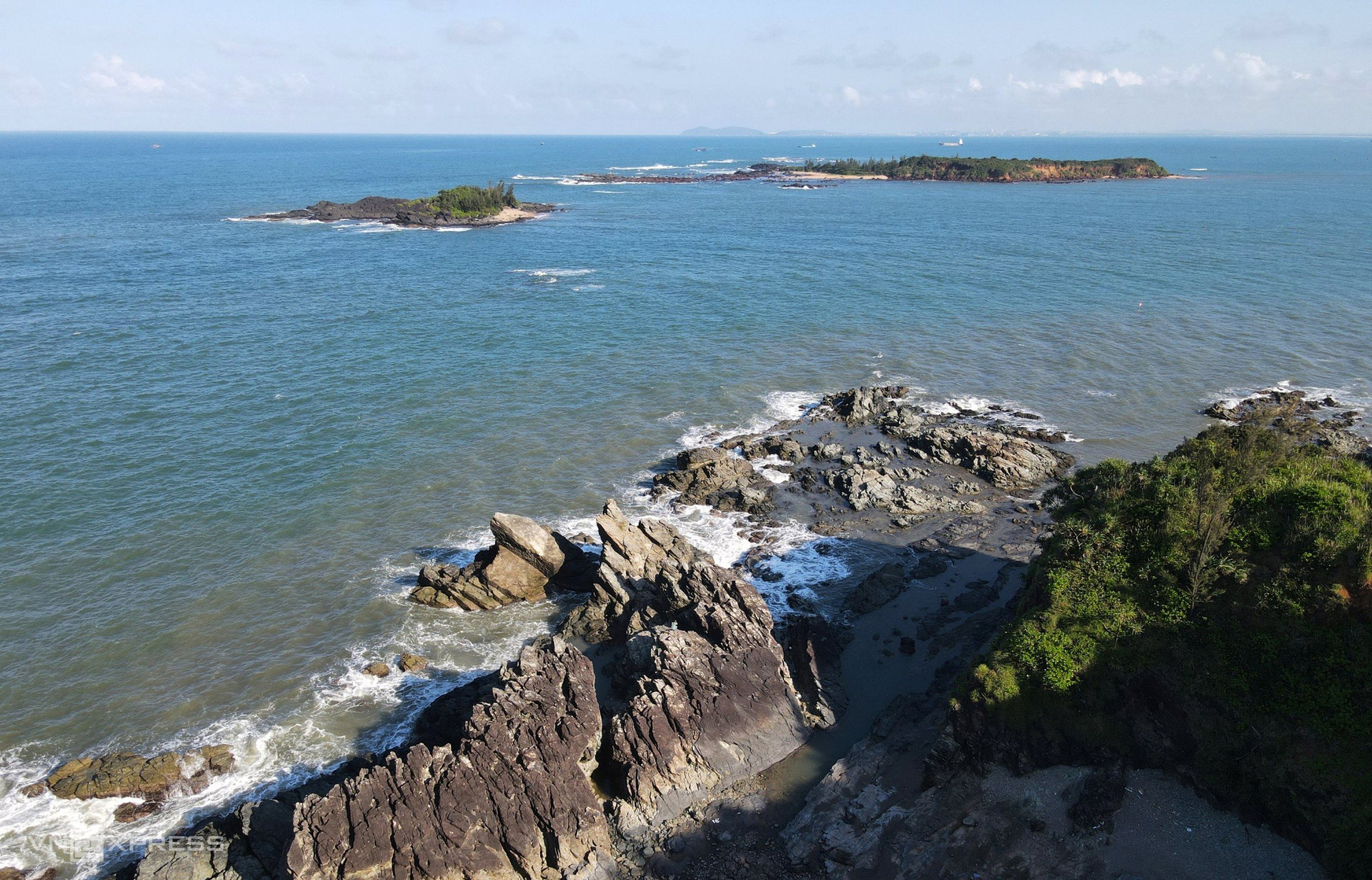
Photo: Vnexpress
Hon Mang and Hon Dua are two isles located in Ban Than water. They are 2 and 11 hectares wide, named after the typical plants on each one, mange grass and wild bromeliads, respectively.
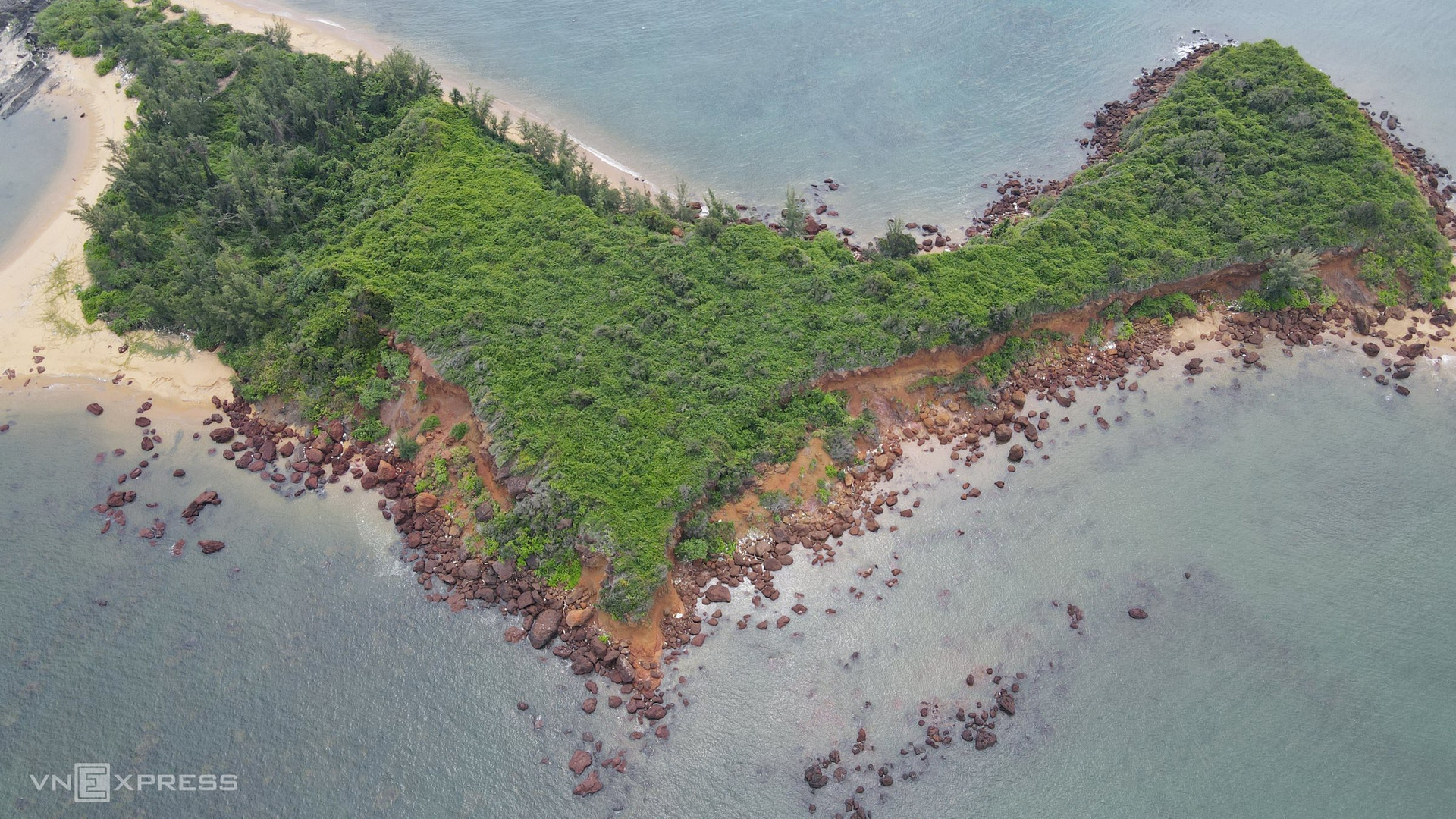
Photo: Vnexpress
At the end of February 2024, the complex of Ban Than, Hon Mang, and Hon Dua was recognised as a national relic. It is about 40 km from Tam Ky city and 80 km from Hoi An.
Translated by Q.Thu